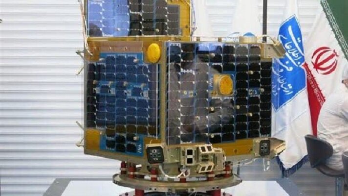
Iran (IMNA) - Pars 1 is a research and measurement satellite designed to create detailed maps of Iran's water resources, biosphere, and human population. The satellite will orbit at an altitude of 500 kilometers with an inclination of 55 degrees.
Weighing under 150 kilograms, Pars 1 is equipped with a transmitter operating in the X-band telecommunication spectrum. This marks the first use of the X-band link in an Iranian satellite, which is expected to significantly improve data transmission speeds.
Pars 1's primary objectives include:
* Creating a 1:200,000 scale map of Iran's water sphere
* Mapping the biosphere and human sphere at a scale of 1:100,000
Ground stations are being used to receive satellite images and enhance the mission's functionality. The launch of Pars 1 represents a significant achievement for Iran's space program and is seen as a major step towards enhancing the country's scientific and technological capabilities.

Iran has successfully launched its indigenous satellite, Pars 1, into orbit aboard a Russian Soyuz rocket.
News ID 731880

Your Comment