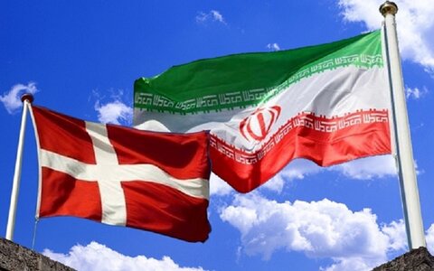
Iran (IMNA) - Vahr made the remarks in a meeting with Alireza Shahidi, the head of Geological Survey and Mineral Explorations of Iran (GSI) on Monday.
According to the GSI Office of Public Relations, in the mentioned meeting the two sides discussed the development of bilateral cooperation and stressed the need to strengthen scientific and research relations in the fields of geology and mining exploration.
Speaking in the meeting, Shahidi mentioned the activities of his organization in the country, and said: “Iran Geology and Mineral Exploration Organization is responsible for preparing geological maps of West Asia in UNESCO, including Quaternary and tectonic maps.”
He noted that GSI has carried out extensive studies in the field of karst water exploration in Iran, adding: "This organization is responsible for producing basic information for mineral exploration in the country and is currently localized the knowledge for aerial geophysical methods that were exclusively used by Canadians.”
According to the official, the chemical laboratories of the Geological Survey and Mineral Explorations of Iran are equipped with the latest modern equipment and machinery with very high accuracy.
Emphasizing that the training of specialized human resources in GSI is of great importance, Shahidi said: "Accordingly, in the field of international relations, we have had extensive educational and research relations and cooperation with European universities, including the universities from the United Kingdom, Germany, France and Italy; and last year, we cooperated with France’s Sorbonne University on the preparation of three-dimensional maps.”
He also referred to the holding of workshops by European universities in Iran in various fields of geosciences, saying: "These workshops have become a place for gathering and communication of European and Iranian geologists, which is now being held as a webinar due to the Coronavirus pandemic."
Tehrantimes


Your Comment