
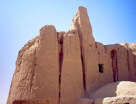
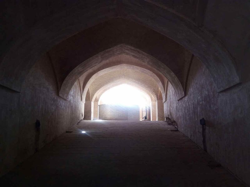
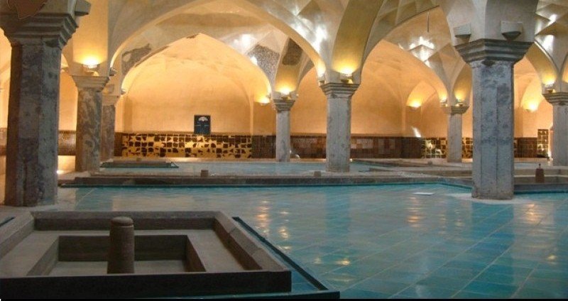
Isfahan (IMNA) - According to the elders, Rahnan city had four castles in the past dating back to Sassanid era, nowadays no trace remained of those castles in the vicinity of Kohandezh. Jameh Qiblatain mosque and 2 small and big bathhouses adjacent to each other known as Chehel-Sotoun bathhouse are the only historical monuments of Rahnan.
According to the scroll of Sheikh Bahaie, Rahnan had 24 share from Zayande-Rood River. This area is located between Khomeini Shahr County and Isfahan city, which ends to Imam Khomeini Street from the east and to Jooy Abad area of Khomeini Shahr County from the west and northwest. From the south it leads to Kohandezh Street, and it also ends up to Babookan road from the north. Rahnan is connected with the neighboring areas through the five main streets of Sharif Sharghi, Derakhshan, Imam Reza, Shahid Beheshti, and Kohandezh square. Rahnan itself includes old neighborhoods like Chahar Shah, Zajan, Tahooneh, Mashadeh, and Drab-e Meidan, that each of them has many agricultural lands.
The etymology of this city is described in 2 ways; in one of the old droughts, the required flour of the province was supplied form this area due to the high planting of wheat, so this region was called "Rah-e Nan" or "Rah Nan" which mean the place of making bread, and some people also believe that due to the good quality of the soil of this area and its good products, locals called "Re" for wheat and rice, so this area was called "Renan".
Your Comment